Tanks & Irrigation · Polonnaruwa period

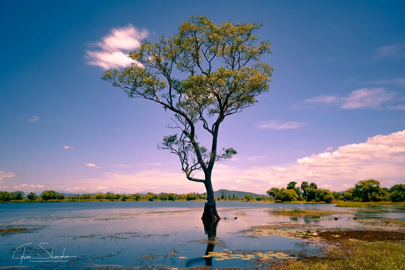
Parakrama Samudra

Polonnaruwa District

Parakrama Samudra
Naveendridesilva · CC BY-SA 4.0

The Sea of Parakrama — a reservoir of roughly 22 square kilometres formed by joining several older tanks under Parakramabahu I in the twelfth century.

The bund runs about 14 kilometres. It irrigated the agricultural land that supported the capital, and it remains in use today. Its scale is the usual illustration of what the island's hydraulic engineering achieved, though the labour that built and maintained it was drawn under service obligation from every community in the region, not from any one of them.12

Location

7.9270° N, 80.9820° E

View on OpenStreetMap ↗

References

  1. Gunawardana, R. A. L. H. Robe and Plough: Monasticism and Economic Interest in Early Medieval Sri Lanka. University of Arizona Press. 1979. On monastic landholding, irrigation and the organisation of agrarian labour.
  2. Leach, Edmund. Hydraulic Society in Ceylon. Past & Present 15. 1959. Challenges the idea that large-scale irrigation implies a single centralised managerial class.

Spotted an error or have a source to add? Corrections are welcome. Get in touch

All places